Weather Alert in New Mexico
Red Flag Warning issued February 24 at 1:18AM MST until February 24 at 6:00PM MST by NWS Albuquerque NM
AREAS AFFECTED: Northeast Plains; Northeast Highlands; Central Highlands; East Central Plains
DESCRIPTION: ...RED FLAG WARNING IN EFFECT FROM 10 AM TO 6 PM MST TODAY FOR THE CENTRAL HIGHLANDS, NORTHEAST HIGHLANDS, NORTHEAST AND EAST CENTRAL PLAINS DUE TO STRONG WEST WINDS AND LOW HUMIDITY... .Fire danger increases in fine fuels in eastern New Mexico today. The strongest wind gusts, up to 45 mph, will be along the I-40 corridor from Clines Corners to the Texas border. These gusty west winds combined with well above normal temperatures and minimum relative humidity values between 7 and 14 percent will result in several hours of critical fire weather conditions east of the central mountain chain. * AREA AND TIMING...Northeast Plains (Zone 104), Northeast Highlands (Zone 123), Central Highlands (Zone 125), and East Central Plains (Zone 126) Today from 10 AM to 6 PM MST. * 20 FOOT WINDS...West winds 20 to 35 mph with peak gusts up to 45 mph. * RELATIVE HUMIDITY...Minimum relative humidity values between 7 and 14 percent. * IMPACTS...Any fires that develop will likely spread rapidly. Outdoor burning is not recommended.
INSTRUCTION: Please advise the appropriate officials or fire crews in the field of this Red Flag Warning.
Want more detail? Get the Complete 7 Day and Night Detailed Forecast!
Current U.S. National Radar--Current
The Current National Weather Radar is shown below with a UTC Time (subtract 5 hours from UTC to get Eastern Time).

National Weather Forecast--Current
The Current National Weather Forecast and National Weather Map are shown below.

National Weather Forecast for Tomorrow
Tomorrow National Weather Forecast and Tomorrow National Weather Map are show below.

North America Water Vapor (Moisture)
This map shows recent moisture content over North America. Bright and colored areas show high moisture (ie, clouds); brown indicates very little moisture present; black indicates no moisture.

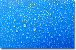
Weather Topic: What is Condensation?
Home - Education - Precipitation - Condensation
 Next Topic: Contrails
Condensation is the process which creates clouds, and therefore
it is a crucial process in the water cycle.
Condensation is the change of matter from a state of gas into a state of liquid,
and it happens because water molecules release heat into the atmosphere and
become organized into a more closely packed structure, what we might see as
water droplets.
Water is always present in the air around us as a vapor, but it's too small for
us to see. When water undergoes the process of condensation it becomes organized
into visible water droplets. You've probably seen condensation happen before on the
surface of a cold drink!
Next Topic: Contrails
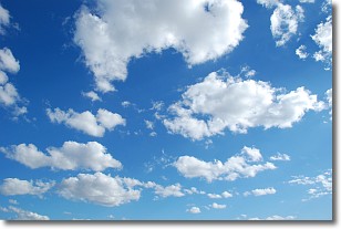
Weather Topic: What are Cumulonimbus Clouds?
Home - Education - Cloud Types - Cumulonimbus Clouds
 Next Topic: Cumulus Clouds
The final form taken by a growing cumulus cloud is the
cumulonimbus cloud, which is very tall and dense.
The tower of a cumulonimbus cloud can soar 23 km into the atmosphere, although
most commonly they stop growing at an altitude of 6 km.
Even small cumulonimbus clouds appear very large in comparison to other cloud types.
They can signal the approach of stormy weather, such as thunderstorms or blizzards.
Next Topic: Cumulus Clouds
Current conditions powered by WeatherAPI.com


